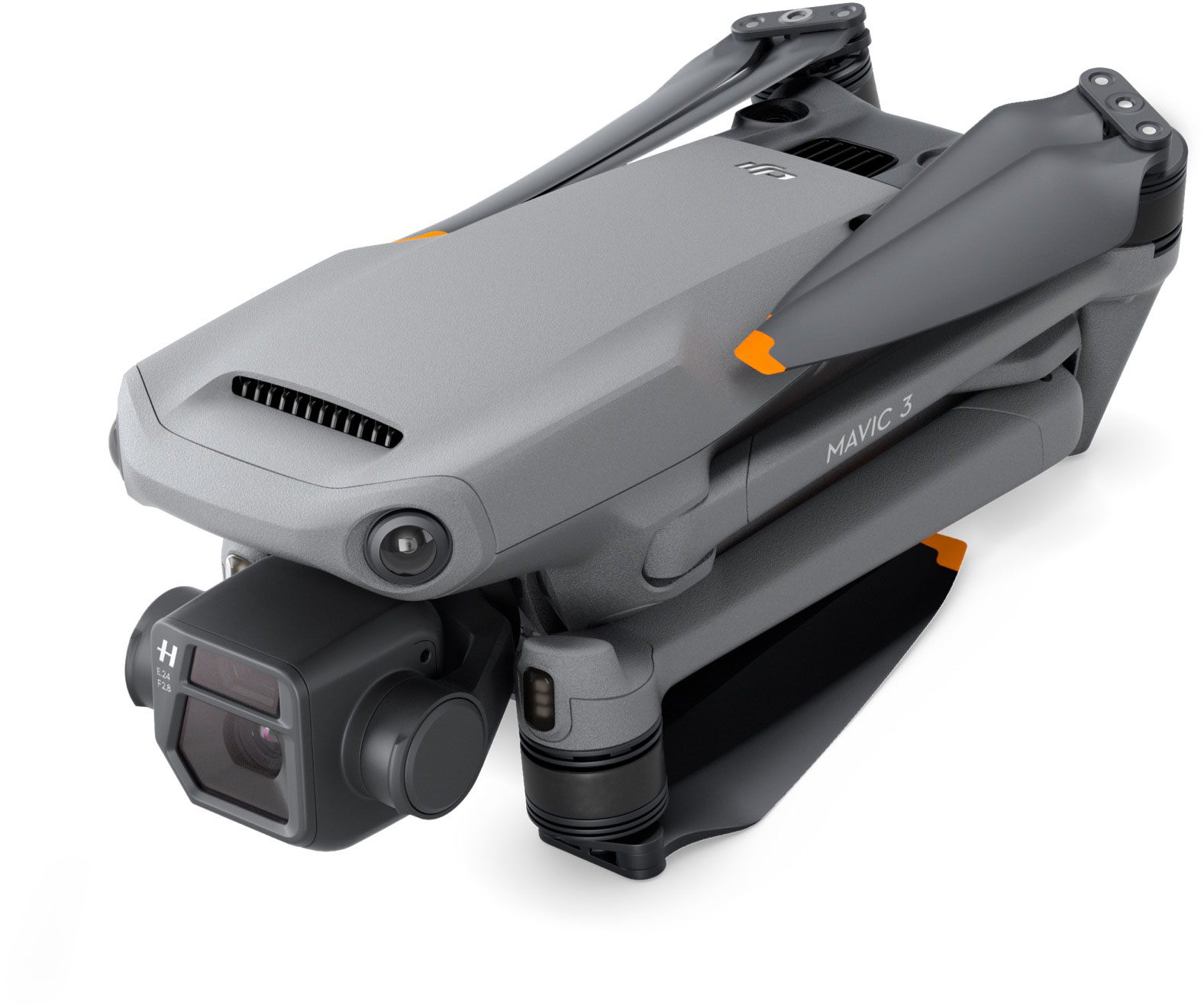
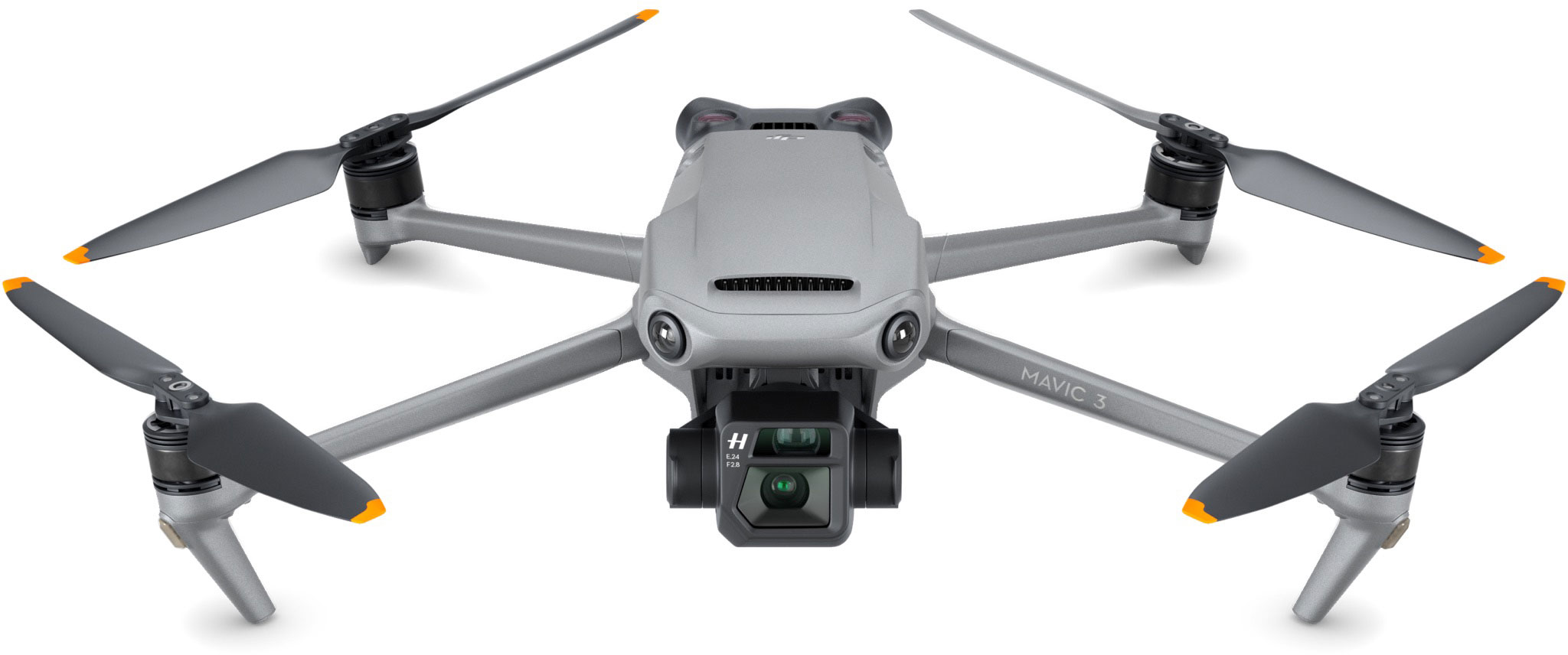
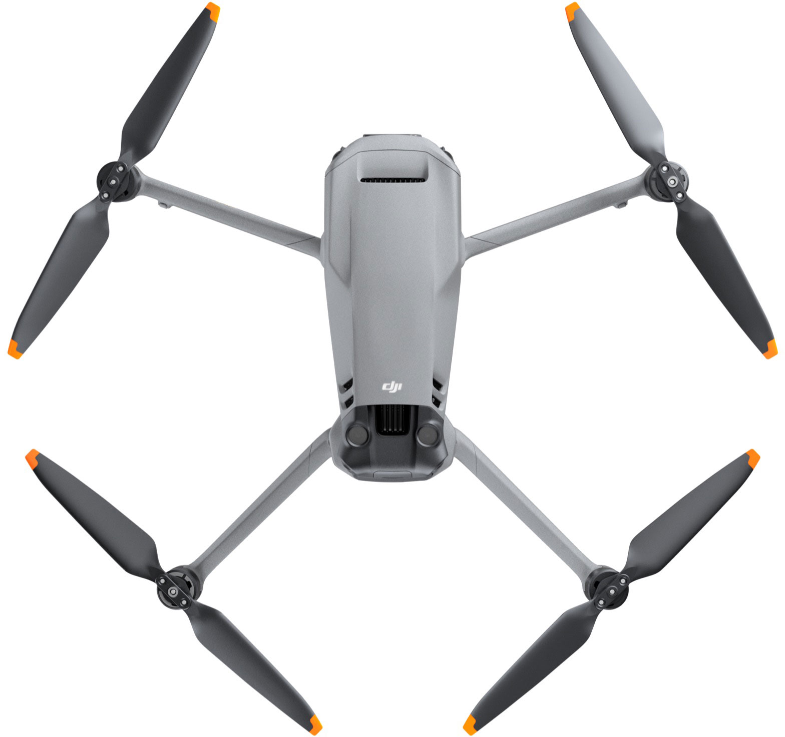
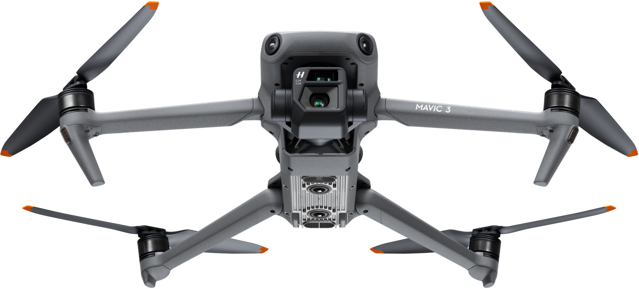
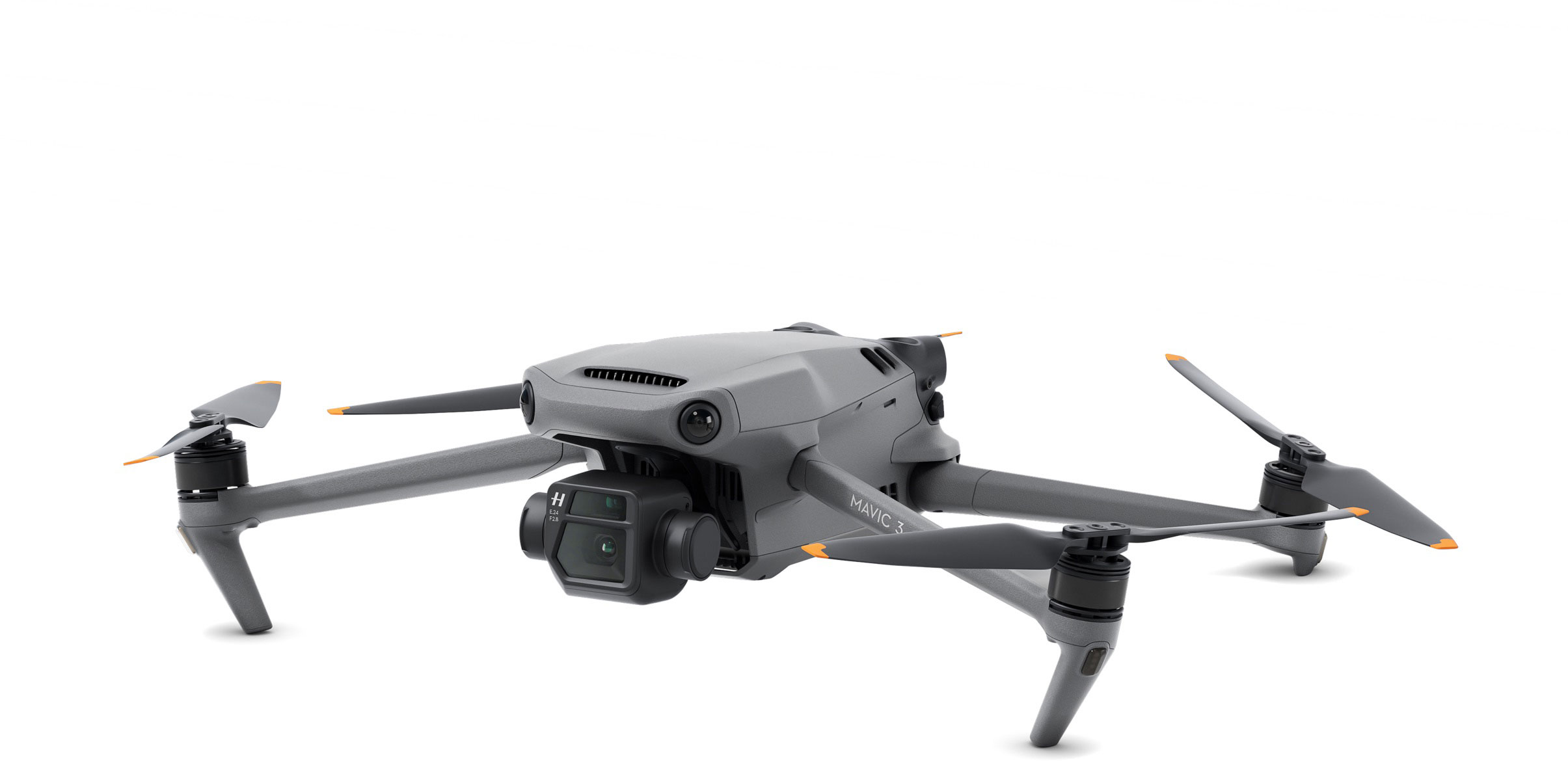
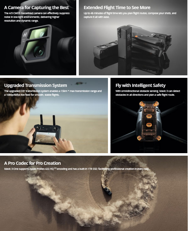
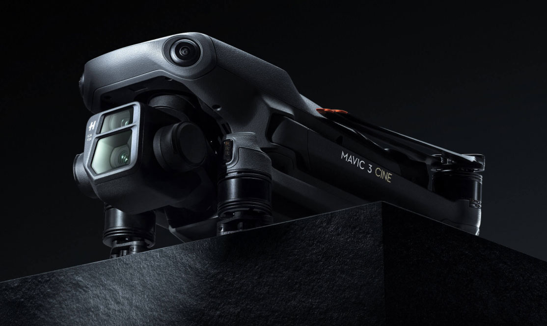
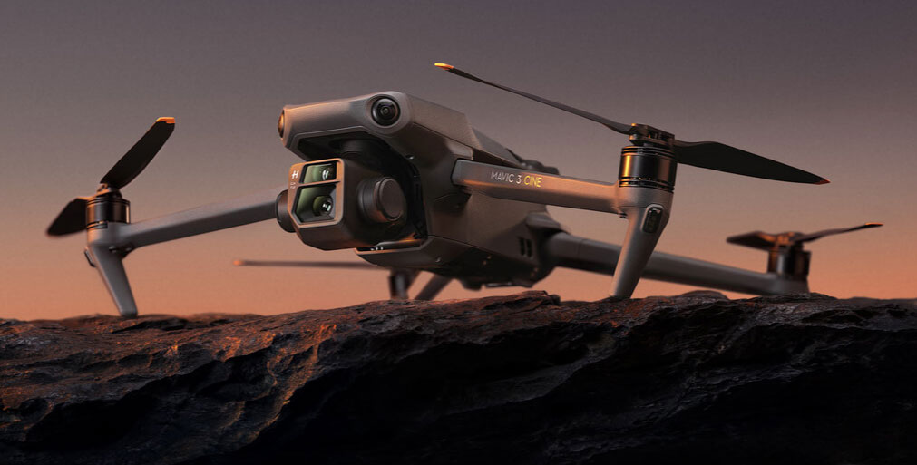
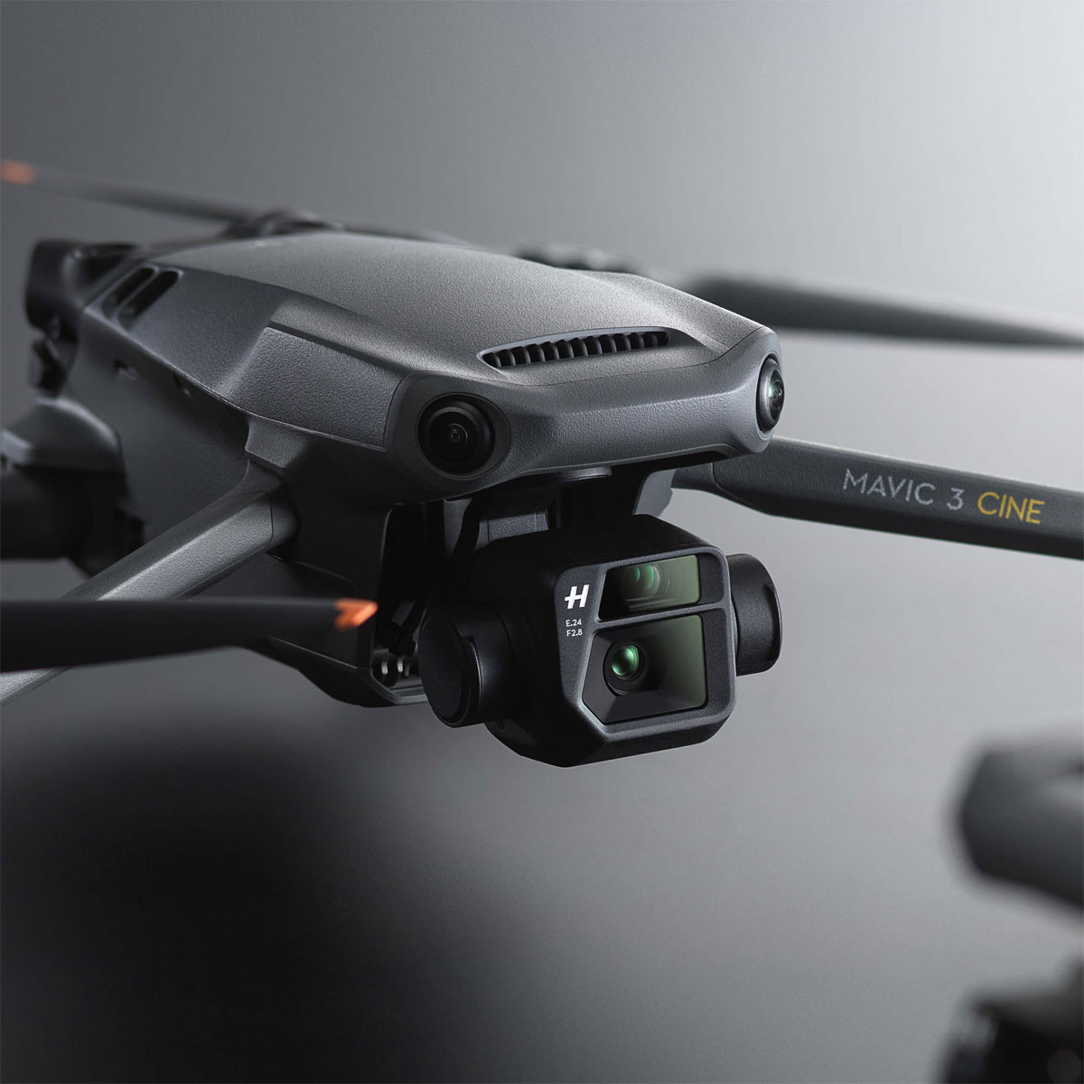
- Mavic 3 offers significantly improved imaging performance thanks to its 4/3 CMOS Hasselblad camera and 24mm-equivalent lightweight lens. It can record up to 5.1K/50fps or 4K/120fps videos.
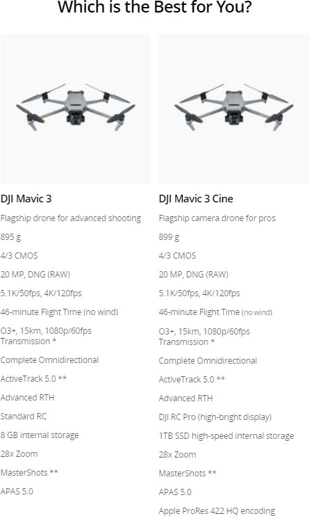
- Mavic 3 Cine supports Apple ProRes 422 HQ encoding, offering better image quality and greater flexibility during post-processing.
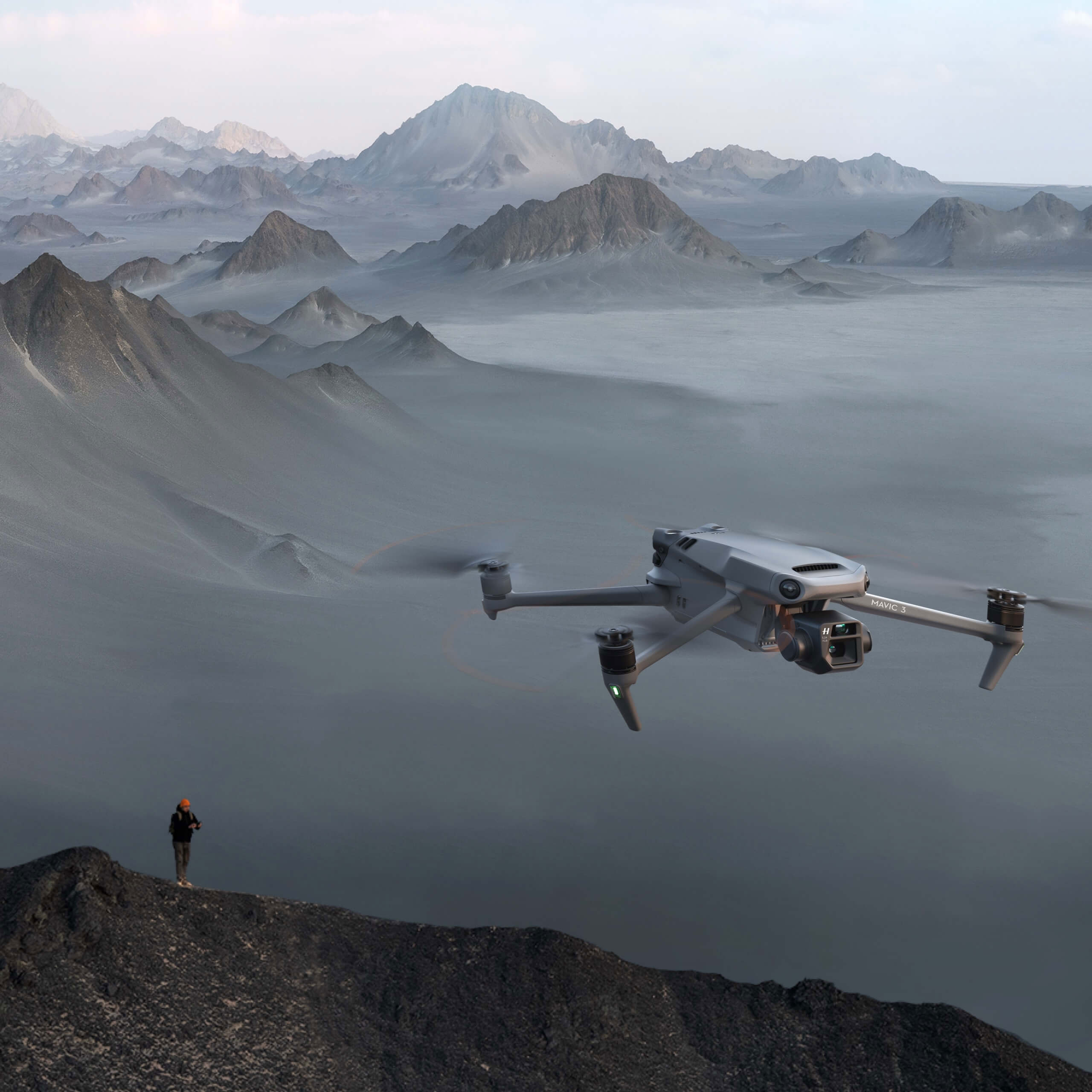
- The flight experience has also been comprehensively improved with the flight time extended to 46 minutes. And thanks to incredibly stable O3+ technology, video transmission can reach up to 15 km.
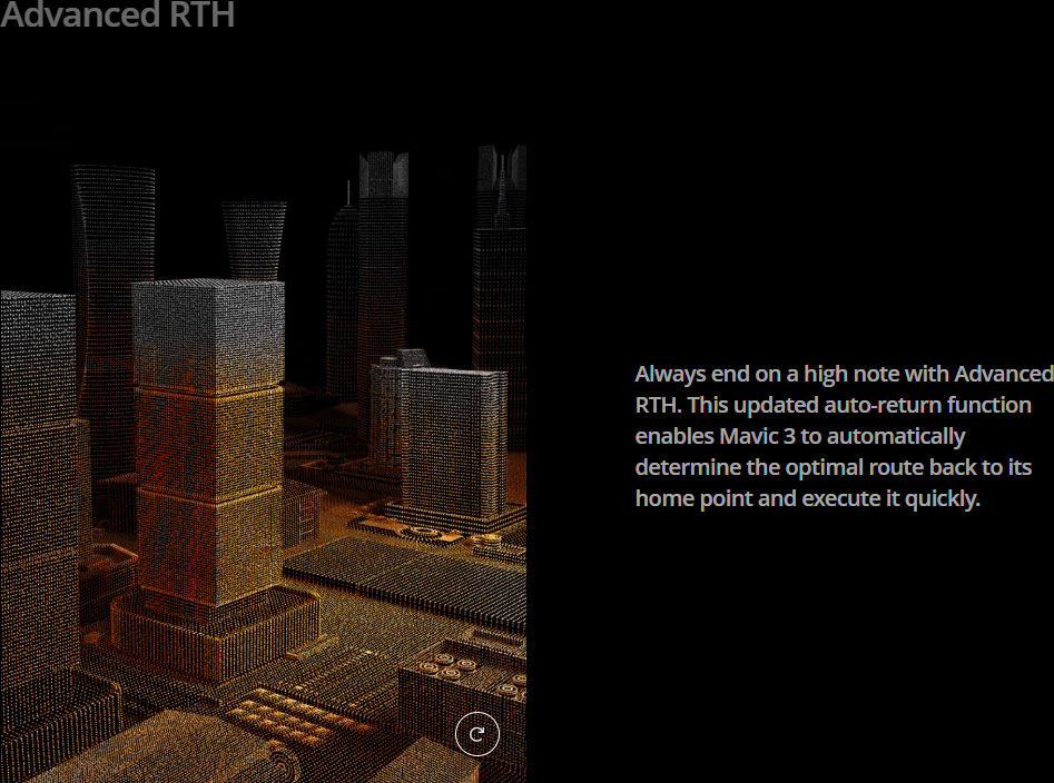
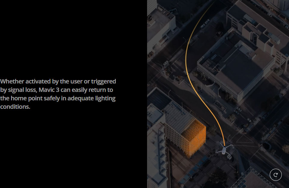
- DJI Mavic 3 is equipped with an omnidirectional obstacle sensing system and supports the upgraded APAS 5.0 and Advanced RTH, letting creators enjoy safe flight with peace of mind.
What's the difference between the combos?
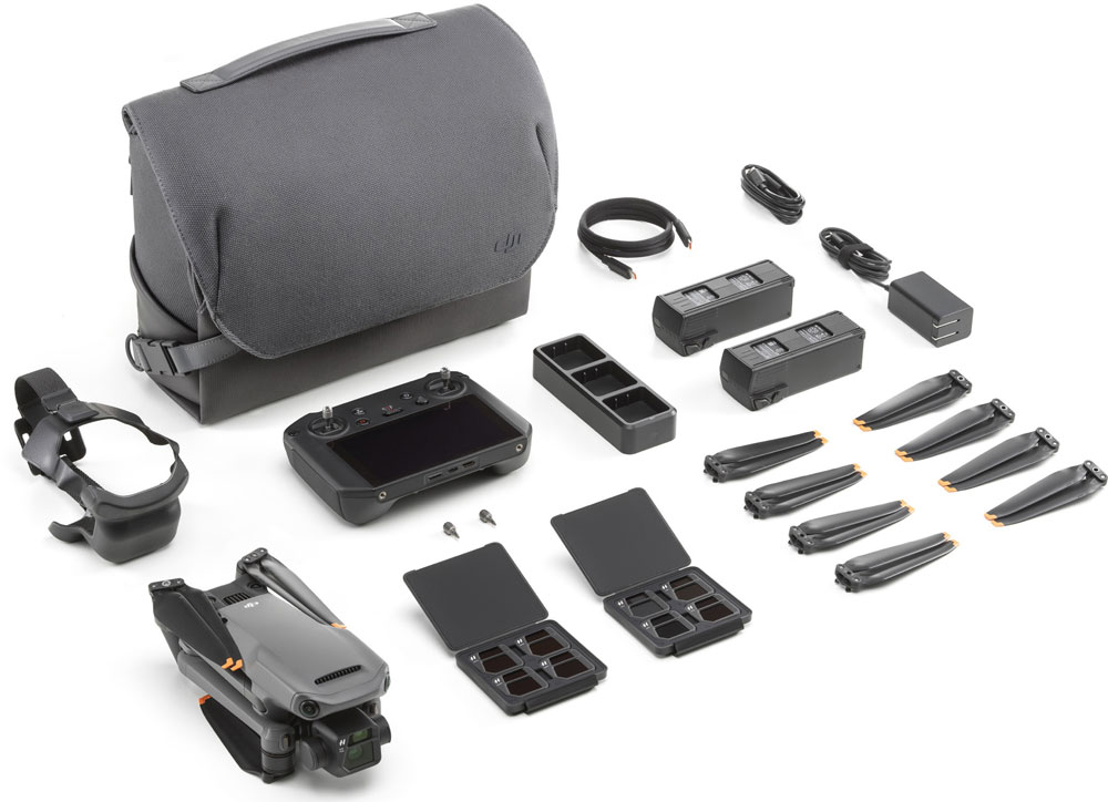
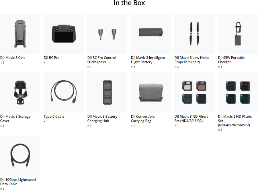
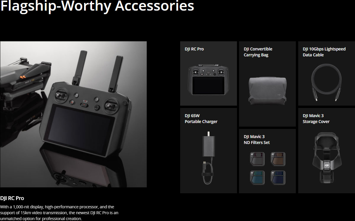
Compared with the DJI Mavic 3 Fly More Combo, the DJI Mavic 3 Cine Premium Combo includes a Mavic 3 Cine aircraft that supports Apple ProRes 422 HQ video encoding and has a built-in 1TB SSD, an upgraded DJI RC Pro with a high-bright display, one ND Filters Set (ND64/128/256/512), a 10Gbps Lightspeed cable, and other accessories that help facilitate professional-level imaging.
What are the advantages of Mavic 3's imaging system?
Mavic 3 is equipped with a dual-camera system. First, the Hasselblad camera has a professional-level 4/3 CMOS sensor and supports the Hasselblad Natural Colour Solution, allowing users to get stunning results without the need for post-processing. Mavic 3 Cine goes one step further, offering support for Apple ProRes 422 HQ encoding. Second, the tele lens of the dual-camera system supports Explore mode for 28x hybrid zoom, allowing you to see more of your environment and plan shots with ease.
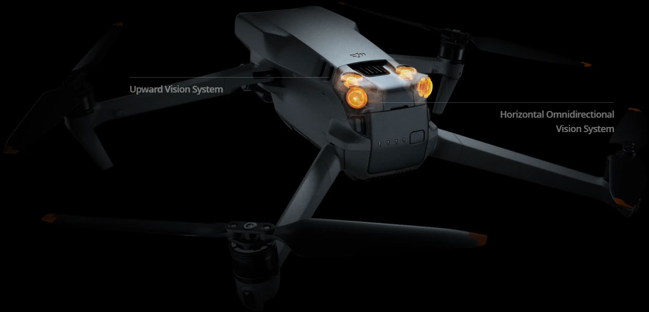
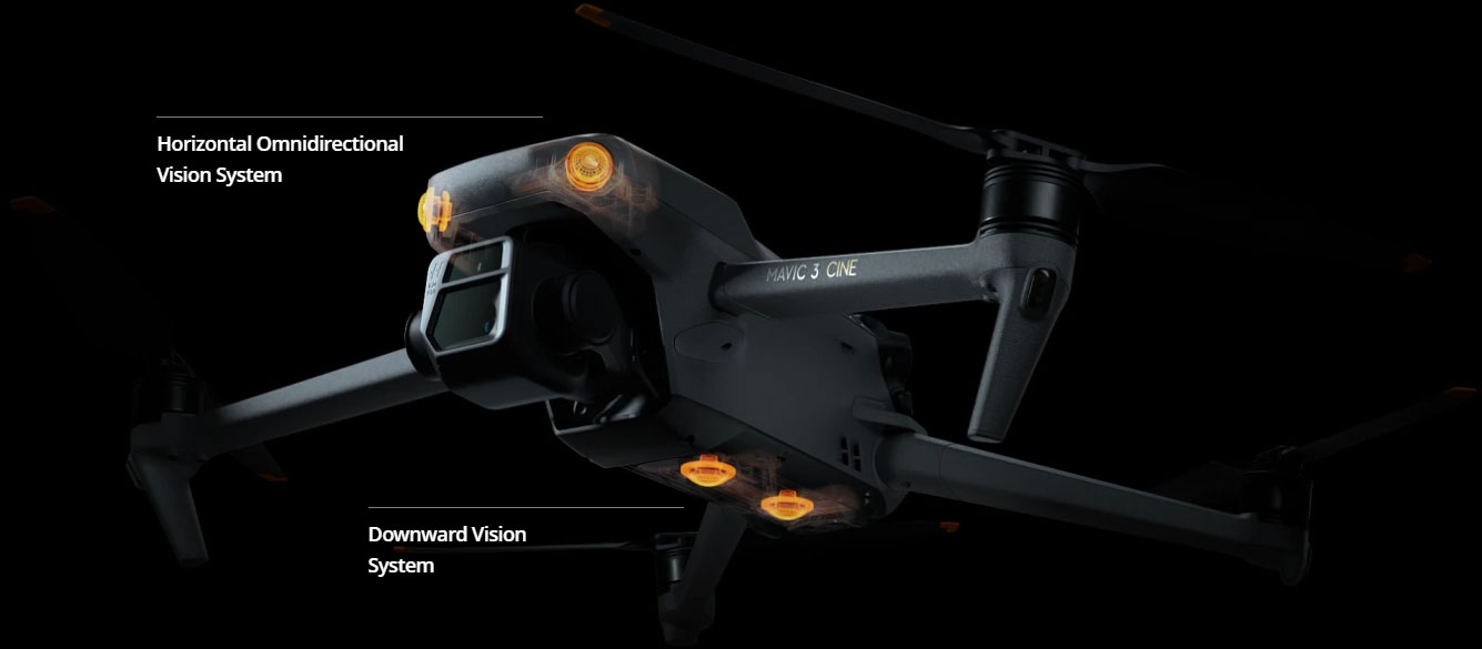
How does the omnidirectional obstacle sensing work?
Multiple wide-angle vision sensors onboard work together seamlessly with a high-performance vision computing engine to sense obstacles in all directions precisely and plan a safe flight route that avoids obstacles.
Compared with O3, what improvements does O3+ have?
The O3+ transmission system has a transmission range of up to 15 km and supports 1080p/60fps real-time transmission.
Note: Unobstructed, free of interference, and when FCC-compliant. Maximum flight range specification is a proxy for radio link strength and resilience. Always follow local rules and regulations and fly your drone within your visual line of sight unless otherwise permitted.
Notes & remarks
* Tested with a production model DJI Mavic 3 in a closed environment in favorable conditions and an unobstructed wireless signal. Actual results may vary depending on environment, usage, and firmware version.
** All videos and photos on this page were taken in strict compliance with local laws and regulations.
1. ActiveTrack is not available at video resolutions higher than 4K or frame rates over 60fps.
2. DJI Mavic 3 Cine supports Apple ProRes 422 HQ and H.264/H.265 encoding, while Mavic 3 only supports H.264/H.265 encoding.
3. Actual available storage space may be reduced due to system configuration. For more details, see the Mavic 3 specs.
4. DO NOT use the aircraft in severe weather conditions including heavy wind exceeding 13.8 m/s, snow, rain, fog, hail, or lightning. DO NOT fly the aircraft 6,000 m (19,685 ft.) or higher above sea level. DO NOT fly the aircraft in environments where the temperature is below -10° C (14° F) or above 40° C (104° F). DO NOT take off from moving objects such as cars or boats. DO NOT fly close to reflective surfaces such as water or snow. Otherwise, the vision system may be limited. When the GNSS signal is weak, fly the aircraft in environments with good lighting and visibility. Low ambient light may cause the vision system to function abnormally. DO NOT fly near areas with magnetic or radio interference. Common source of magnetic or radio interference interferece includes Wi-Fi hotspots, routers, Bluetooth devices, high-voltage lines, large-scale power transmission stations, radar stations, mobile base stations, and broadcasting towers. Be careful when taking off in desert or beach areas to avoid sand entering the aircraft. Fly the aircraft in open areas. Buildings, mountains, and trees may block the GNSS signal and affect the on-board compass.
5. Measured with Mavic 3 flying at a constant speed of 32.4 kph in a windless environment at sea level until the battery reached 0%. Data is for reference only. Please pay attention to the RTH reminder on the DJI Fly app during flight.
6. Unobstructed, free of interference, and when FCC-compliant. Maximum flight range specification is a proxy for radio link strength and resilience. Always follow local rules and regulations and fly your drone within your visual line of sight unless otherwise permitted.
7. Unobstructed and free of interference. Actual resolution may vary depending on the quality of the transmission signal.
8. Sold separately. This function will be available in January of 2022 through firmware updates.
9. Unobstructed, free of interference, and when FCC-compliant. Maximum flight range specification is a proxy for radio link strength and resilience.
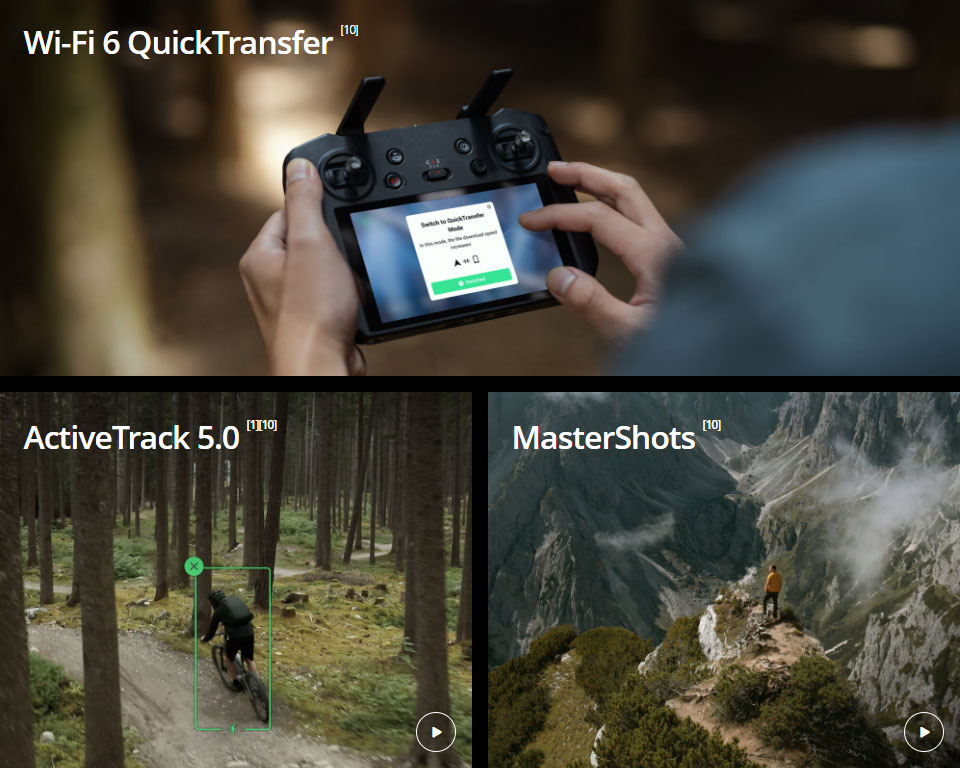
10. This function will be available in January of 2022 through firmware updates.


